Monday, January 27, 2014

Bicycling to the New Silver Line Metro Stations

Last week Liz and I planned and lead a ride with some members of Washington Area Bicyclist Association (WABA - http://www.waba.org)  Fairfax Advocates for Better Biking (FABB - http://www.fabb-bikes.org/) to scout out ways to ride to some of the new Silver Line Metro stations being brought on line in the near future.  We found a few surprises in getting around.  Some stations are easily accessible by bike.  Others are more of a challenge.   The good and not-so good rides were not what I expected.  

Background:  One of the great things about the new Silver Line Metro Stations is that they are all extremely well equipped with bike racks and bike storage lockers.  At this point, most of these stations do not have a lot of automobile parking.  That leaves getting to and from Metro by bus, taxi or bicycle.  As a bicycle advocate, I took a keen interest in scouting out the routes to the Silver Line Stations.

McLean Station turned out to be the most pleasant, and probably easiest station to get to by bicycle.  The route from the south consists of mostly neighborhood streets that are quiet and enjoyable by bicycle.  Here is the route that we took:  http://ridewithgps.com/routes/3967935.  It runs from Tysons Station Shopping Center (the intersection of Pimmit Drive and Leesburg Pike) to the McLean Metro Station.  
McLean Station


A slight variant on the route listed above is from McLean High School to McLean Metro station:  http://ridewithgps.com/routes/3969948  Magarity Road has quite a bit of traffic, but is not bad for cycling.  The route is quite convenient.  

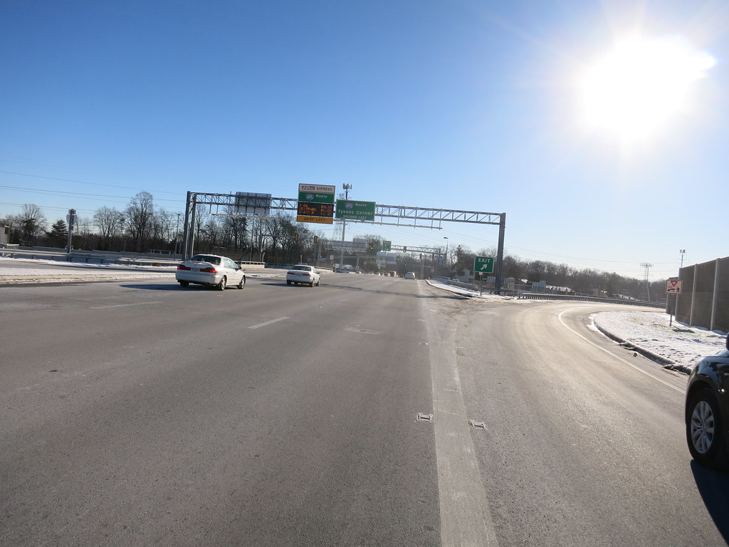
Tyson’s Corner Station is for the short term, slightly more hazardous to ride to because of road and building construction across the street from the station.  The construction is specifically located at the intersection of ShopTysons Blvd and the Chain Bridge Rd entrance to the mall.  There is a stop sign on ShopTysons Blvd for crossing the mall entrance that has very little visibility to oncoming traffic.  In coming months, the construction will be completed and the route will be much safer.  From the south, there is a great route from the Kilmer Middle School Neighborhood to the Tysons Corner Station.  I use this route to get to the mall for shopping.  There’s great bike parking in front of Gordon Biersch Brewery with easy access to the mall.  http://ridewithgps.com/routes/3916023
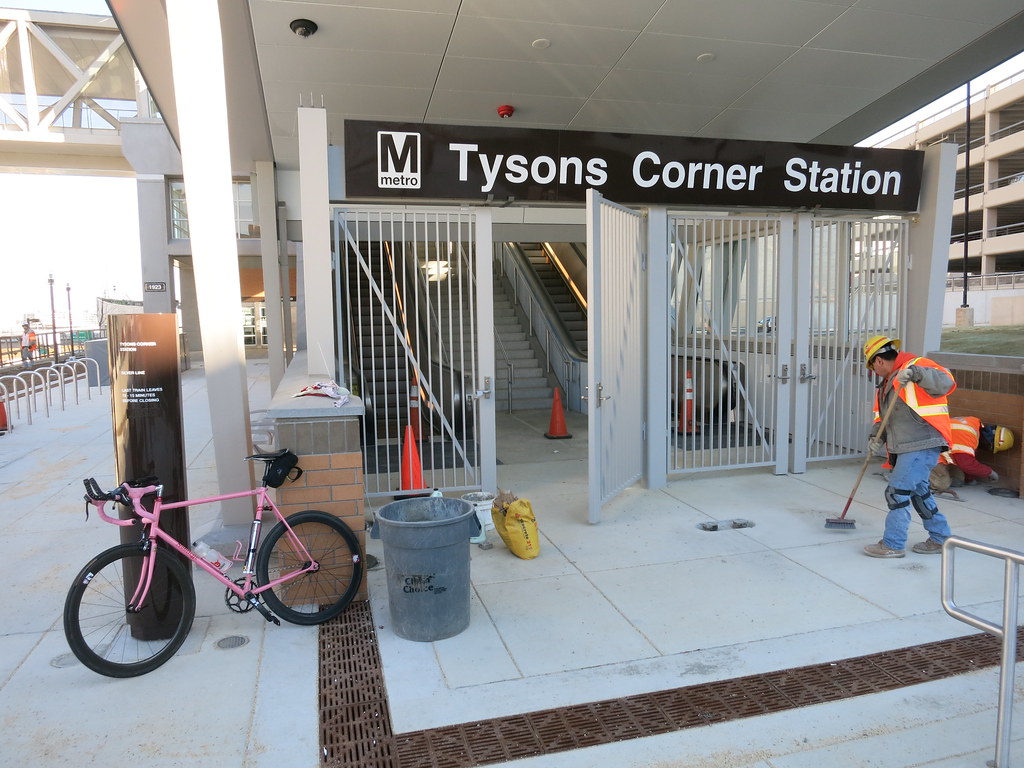
Tysons Corner Station: Bike racks are visible to the left


The business park to the north comes from Freddie Mac, near Spring Hill Road around to Tysons Corner Mall.  http://ridewithgps.com/routes/3967855  Jones Branch Dr. is busy, but has a very wide shoulder.  It was an easy ride to the metro.  There is access to the Metro Station on both the south and north of Chain Bridge Road.  

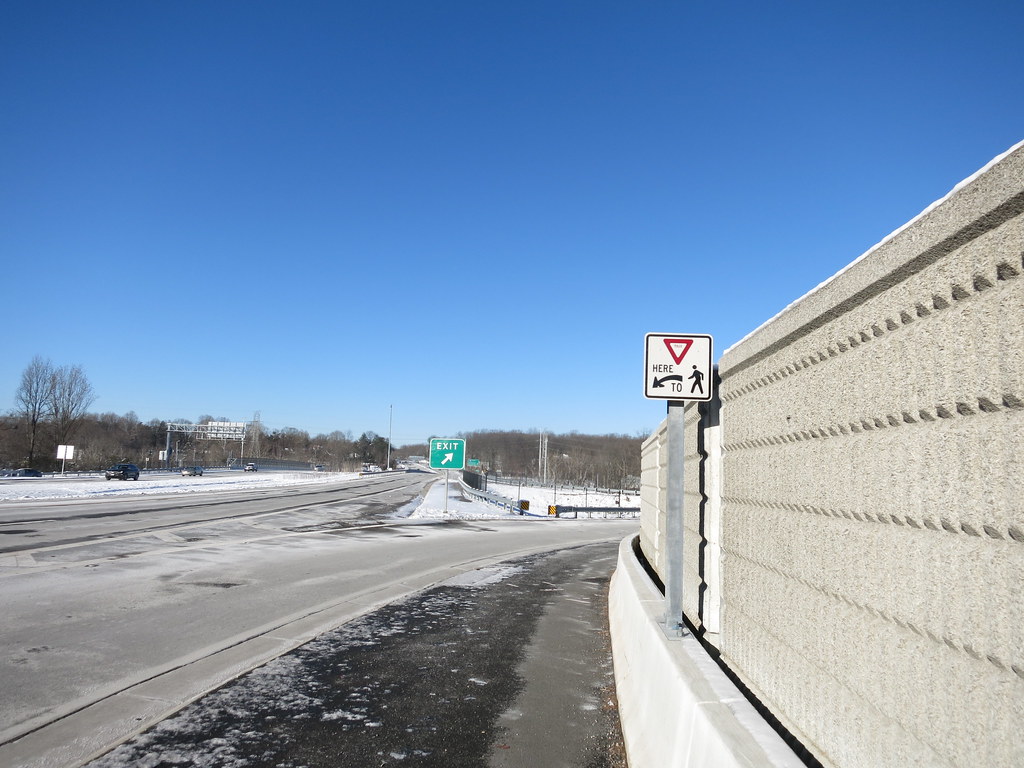
Spring Hill Station has some routes that are easy and safe and some routes that are not at all recommended.  From the west, Metro access from Wolf Trap National Park is a pleasant ride, though it has a few hills.  Trap Road has a nice, multi-use trail that makes things much easier.  http://ridewithgps.com/routes/3967973
Spring Hill Station


Spring Hill Station has an easy route from the south and the Westbriar Elementary School neighborhood:  http://ridewithgps.com/routes/3969898.  There are a few sections of multi-use trails.  

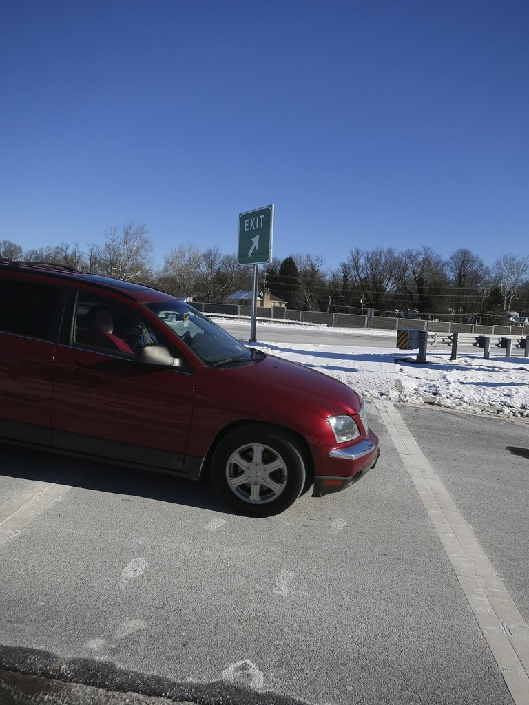
One of the routes that would be most useful to get to Spring Hill Station is from the north.  Spring Hill Recreation Center and Park is a big part of the community.  Unfortunately the roads between Spring Hill Rec Center and the metro are NOT safe for riding.  The shoulders on Spring Hill Road are narrow and the traffic is heavy and moving quickly.  We rode it safely at its lowest traffic time, but I wouldn’t recommend it to any but the most seasoned cyclists used to riding in high-traffic areas.   

I’m pleased to say that there are great cycling routes and great cycling facilities for these Metro stations!

Happy riding!

Pete

Monday, January 6, 2014

VDOT Beltway Crossing Improvments -- Gallows and Little River Turnpike

Overview:  VDOT posted an announcement saying that "bicycle and pedestrian paths have been completed for the beltway overpasses with Fairfax County paths".  The VDOT web site was horribly vague about what the projects included, so I went out to explore.  I rode Gallows Road and Little River Turnpike.  I'll update later with information about Braddock Road when I have a chance to ride it.  

Generally the projects crossing the beltway include wider sidewalks and crosswalks marked with signs for drivers to yield to people in the crosswalks.  There are no on-road bike facilities or bike lanes on either of the beltway crossings that I rode.  

Initial Observations:  Some of the crosswalks have good site lines for those using them and for approaching automobiles.  Many have very poor site lines and are extremely dangerous.  The yield signs for the crosswalks are extremely small (14" square) and completely inadequate for marking the crosswalks.  They are often obscured by other traffic signs that are 36" tall and bigger.  
Tiny yield sign is lost in the visual clutter


The announcement talks about "trail extensions".  I didn't really find all the connections that the press release talked about.  I'll go through the connections as I look at each crossing.  

Gallows Westbound:  The sidewalk along Gallows Road now connects to the sidewalk on the bridge across I-495.  The sidewalk is about 6' wide, which is not really wide enough for a bicycle rider to comfortably pass pedestrians without getting quite close.  The crosswalks have quite good site lines, but the yield signs indicating to drivers that a crosswalk exists are woefully too small.  They appear to be about 14" square and are completely lost in the visual clutter of all the other signs along the road.  


Gallows Road West-bound

On the west side of the bridge, the sidewalk crosses the exit, but does not really connect to anything on the other side.  This appears to be a connection to a sidewalk or path that does not yet exist.   

Gallows Eastbound:  The Eastbound side of the Gallows Rd. Bridge has much better connections.  There are sidewalks and crosswalks that connect to the Fairfax Innova Hospital and to bike-friendly roads on the west side.  Woodburn and Holly Roads are ones that I use regularly and are quite bike friendly.  The site lines for the crosswalks are good, but the one crossing the ramp entering I-495 south has pedestrians and cyclists crossing a bit of road where cars are entering fast and trying to accelerate up to beltway speeds (55mph speed limit that is usually driven at 65mph+).  A 14" square yield sign is nowhere near adequate to promote safe crossing.   

The sidewalk across the bridge connects up well to the sidewalk on the east side of Gallows Road and makes the best connection for pedestrians.  The crosswalk on the east side has a traffic light and is the safest that I toured today.  

Conclusion:  As a cyclist, I'll stick to the road and avoid the Gallows Road Sidewalks.  I personally feel much safer mixing with cars because there are not really usable connections for cyclists on all sides of the bridge.  For novice cyclists, the sidewalks will get you across the beltway very safely.  You just need to make sure you're able to connect to where you want to go.  If you're inside the beltway and need to get to Fairfax Innova hospital, you'll want to cross on the south side of the bridge.  That is the side that has better, safer connections.  
Gallows Road Eastbound.  See the tiny yield sign?


Little River Turnpike Westbound: The sidewalks on Little River Turnpike are much wider.  They're 8 feet wide.  They connect up perfectly on the east and west sides and are a joy to ride.  This is arguably the safest way to cross the beltway…. or is it???  Unfortunately the site lines are sometimes much worse than what we saw on Gallows Road.  The first crosswalk has the same 14" yield sign to announce its location, but there's barely 50 yards of site line for cars that are entering fast and trying to accelerate up to highway speeds.  This is an EXTREMELY DANGEROUS crosswalk.  The crosswalk at the far side of the bridge is very good and has great site lines.  The wide path/sidewalk connects up to the frontage road on the west side perfectly.  It is a great way to cross the beltway!
Cars moving quickly plus short site lines equals dangerous crosswalk


Connection to Cross County Trail:  Nothing to see here, you bunch of Looky-loos.  When I read about bike trail connections at Little River Turnpike, I was SOOOOO excited… anticipating a connection to the Fairfax Cross County Trail.  As I rode across, I could see where it was!  I could see that people had used it!  I was so happy!   Then I got to the No Trespassing signs.  There is still no connection to the CCT on this side of Little River Turnpike.  
No CCT access here!


Little River Turnpike Eastbound:  This is the best of the bunch when it comes to connecting to where people want to go.  Accotink Parkway on the west side connects the Fairfax CCT to the beltway crossing.  The yield sign is tiny, but the site lines are good.  On the far side of the bridge, the story is different.  The crosswalk has okay site lines, but the drivers are going EXTREMELY fast.  I stood at the crosswalk to see if anyone would yield to me.  After 30 or 40 cars crossed, a minivan tried to stop.  He couldn't do it in time.  I heard his ABS rattling as he tried to stop.  He ended up rolling through the crosswalk at about 15mph.  He demonstrated that an average Joe couldn't stop for one of these crosswalks in real-life conditions if he wanted to.  

Dude tried to yield, but couldn't


Conclusion:  I'm going to revise my original conclusion.  The last few times I've ridden that area of Little River Turnpike, it has been very ugly and not a place I am comfortable riding.  I've talked to 4 of my friends who ride through there regularly, and they gave me some local intel.   For experienced cyclists riding 236 across the beltway is probably safer on the street.  I'll go back and evaluate that again for myself.  If you ride through the area, give it a good look and let  me know what you think. 

Here are more photos of my trip if you're interested in seeing more of what I experienced:  http://www.flickr.com/photos/pedrogringo/sets/72157639414919304/

I'll report on Braddock Road in the next few days. 

Happy Riding.  


Pete